MapTiler - Self-Hosting Maps

Well this exercise began with some requirements from office, but while I wasn't able to achieve what I'd set out to do, it became an interesting problem to solve over the weekend. I was curious about how to serve maps.
I tried using OpenMapTiles, but that went not so well. It turns out my expectation of using these was wrong. First you need a server, like MapTiler.
I created a simple container using the command:
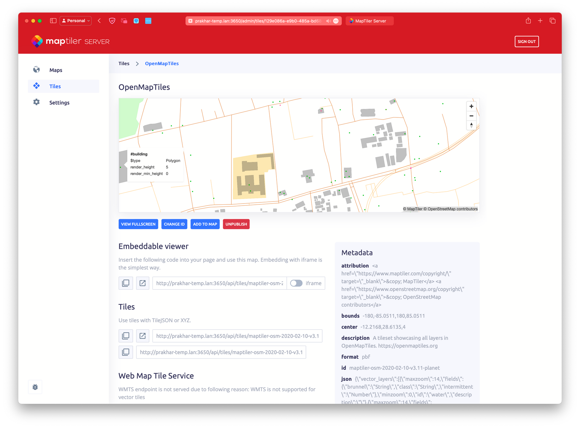
docker run -p 3650:3650 -v "$(pwd)":/data/ maptiler/serverI then uploaded the OpenStreetMap Raster, and this is the result.

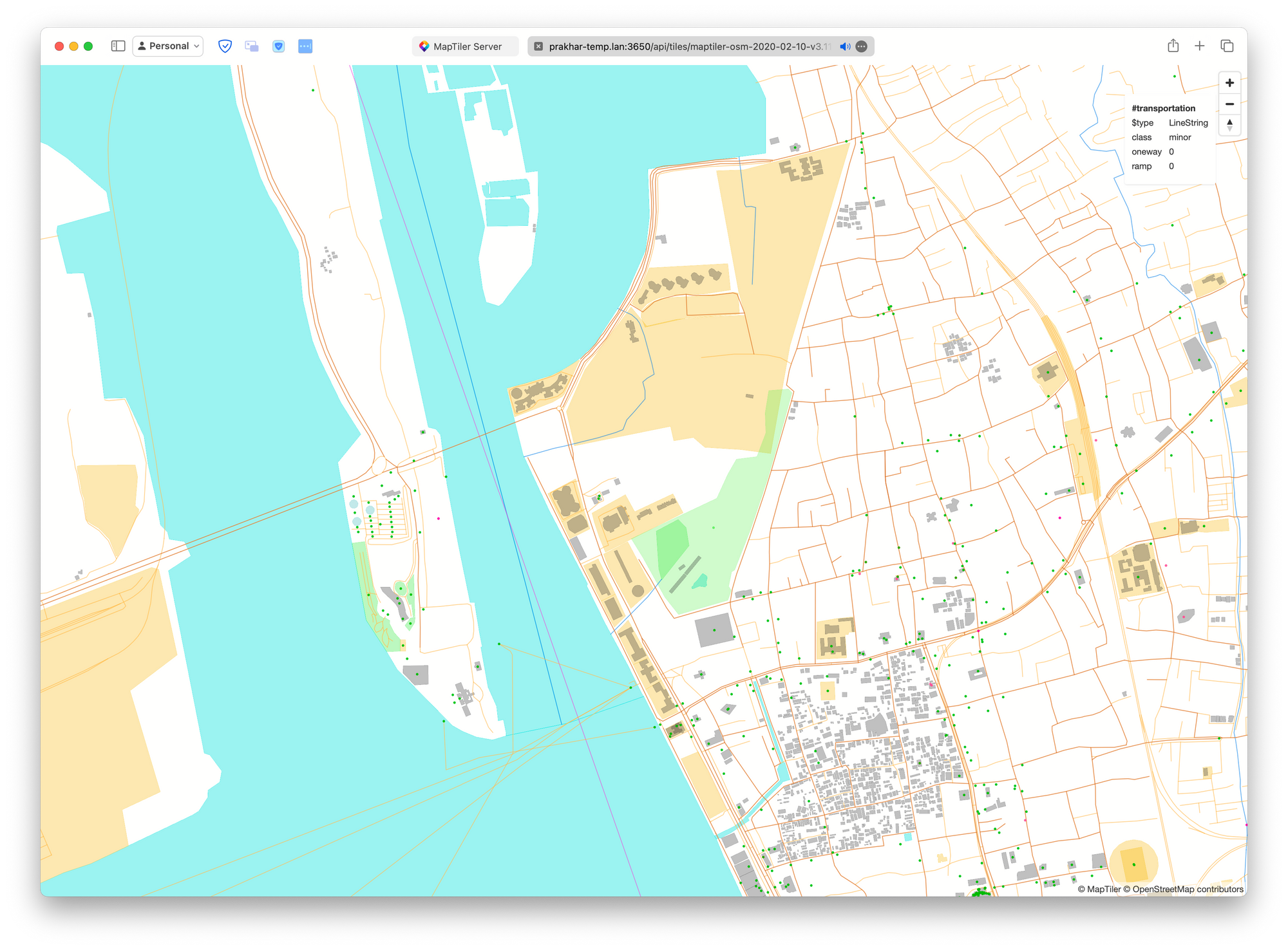
I can then dive a bit deeper in.

As we can see from the above that it is quite handy and can be used almost like any other map server integration. The interesting bit here is that this is the static mode, but there is a dynamic mode as well. I couldn't explore this yet, but it seems to be quite interesting.

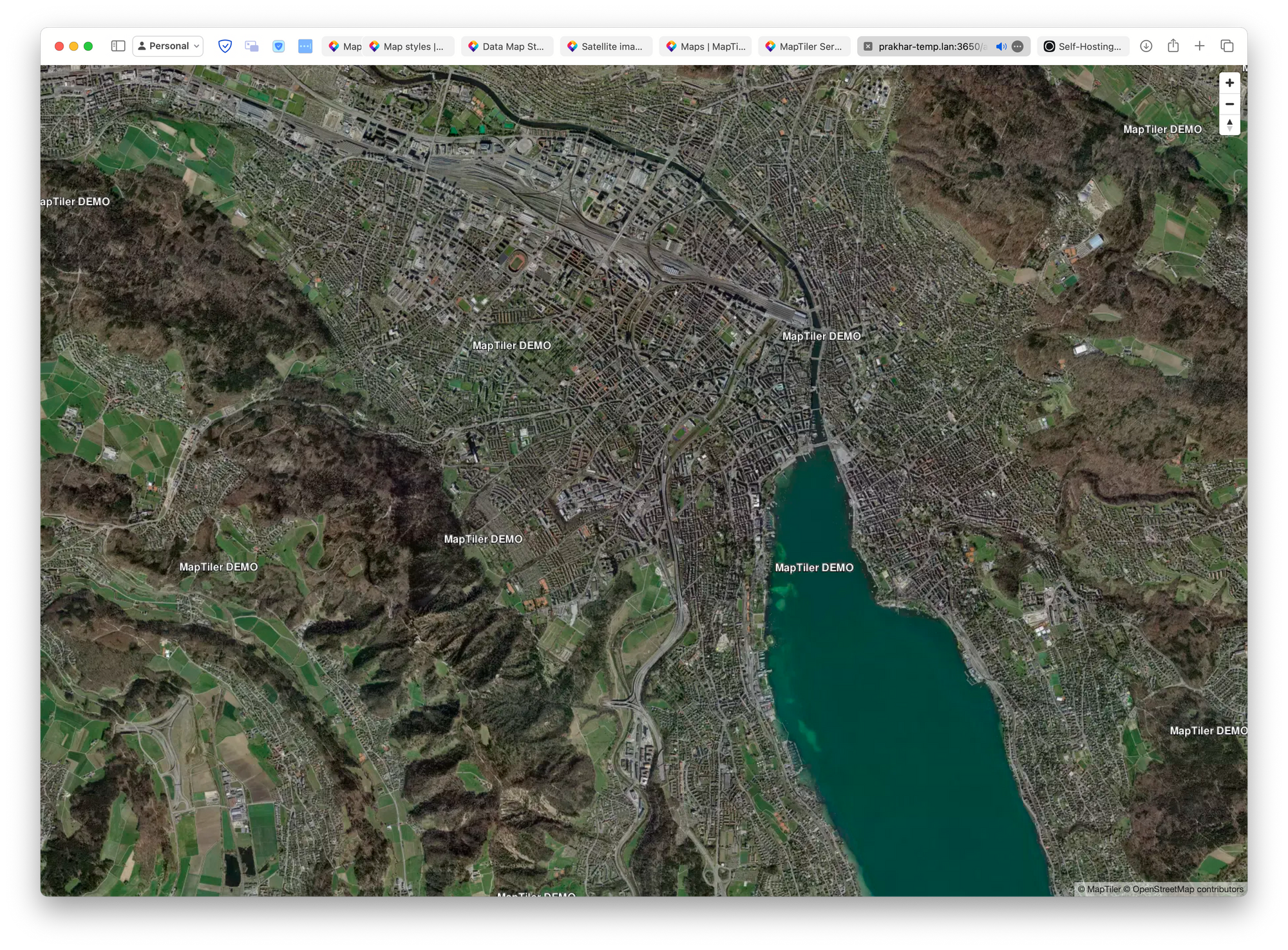
I uploaded some other maps as well. Like this Aerial Zurich one.

I'd like to dive more into this in future, specially serving dynamic maps and satellite maps with some more layers and rendering.